True Start of the South West Coast Path? The Portishead to Clevedon Walk
South West Coast Path in the Spotlight
The South West Coast Path has been making headlines recently, partly thanks to the now rather infamous Salt Path debacle, but also because we’ve had a glorious summer (if you’re a walker and not a farmer, that is) and increased numbers - inspired by the book or the film - have been trudging along at least some of its 630-mile length. But where should our most famous long distance trail really begin and end?
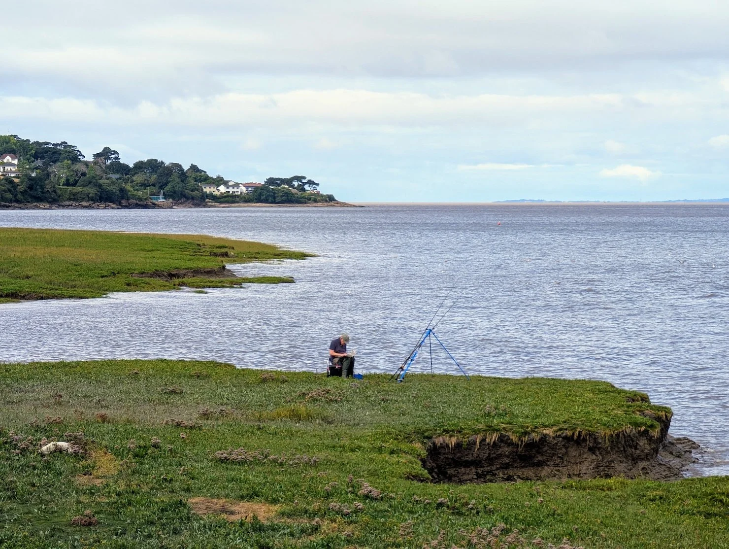
Coast south of Portishead
Minehead or Portishead – Where Should the Path Begin?
I ask the question because, although the 47-year-old path begins at my own home-town of Minehead, there have been a few changes in recent times - namely the development of the England Coast Path (officially called the King Charles III England Coast Path), a new walking route that will eventually encircle the entire coastline.
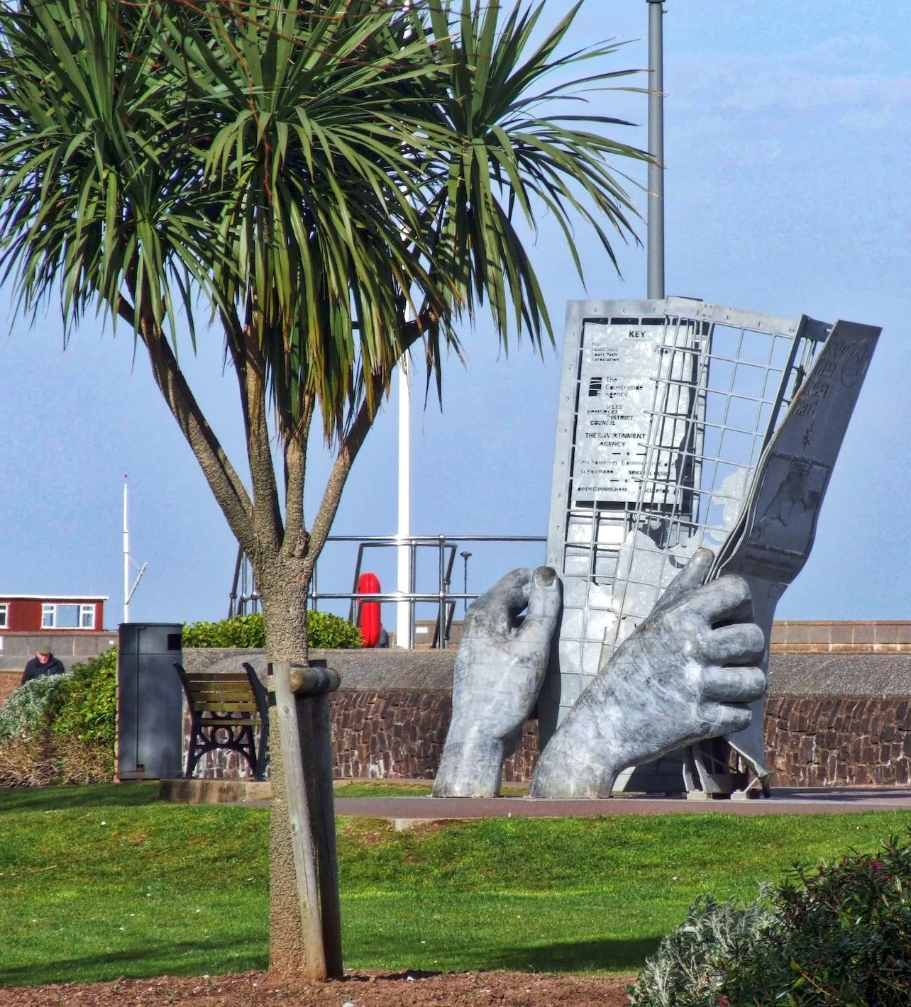
Present SW Coast Path start at Minehead
So, why should something called the South West Coast Path begin 40 or 50 miles along our glorious peninsula’s littoral, and not at the actual start? And where is the actual start?
Well, you could argue it’s at Portishead, near where the River Avon joins the place where the Severn Estuary comes-of-age to become the Bristol Channel proper. Look at a map of the entire peninsula and that really is the most obvious corner for a coast path to begin its march west, rather than way down the Somerset coast more than halfway to Devon.
And guess what. There is a glorious section of coast path that you can enjoy that would begin an easterly extension of the greatest public right-of-way in the world.
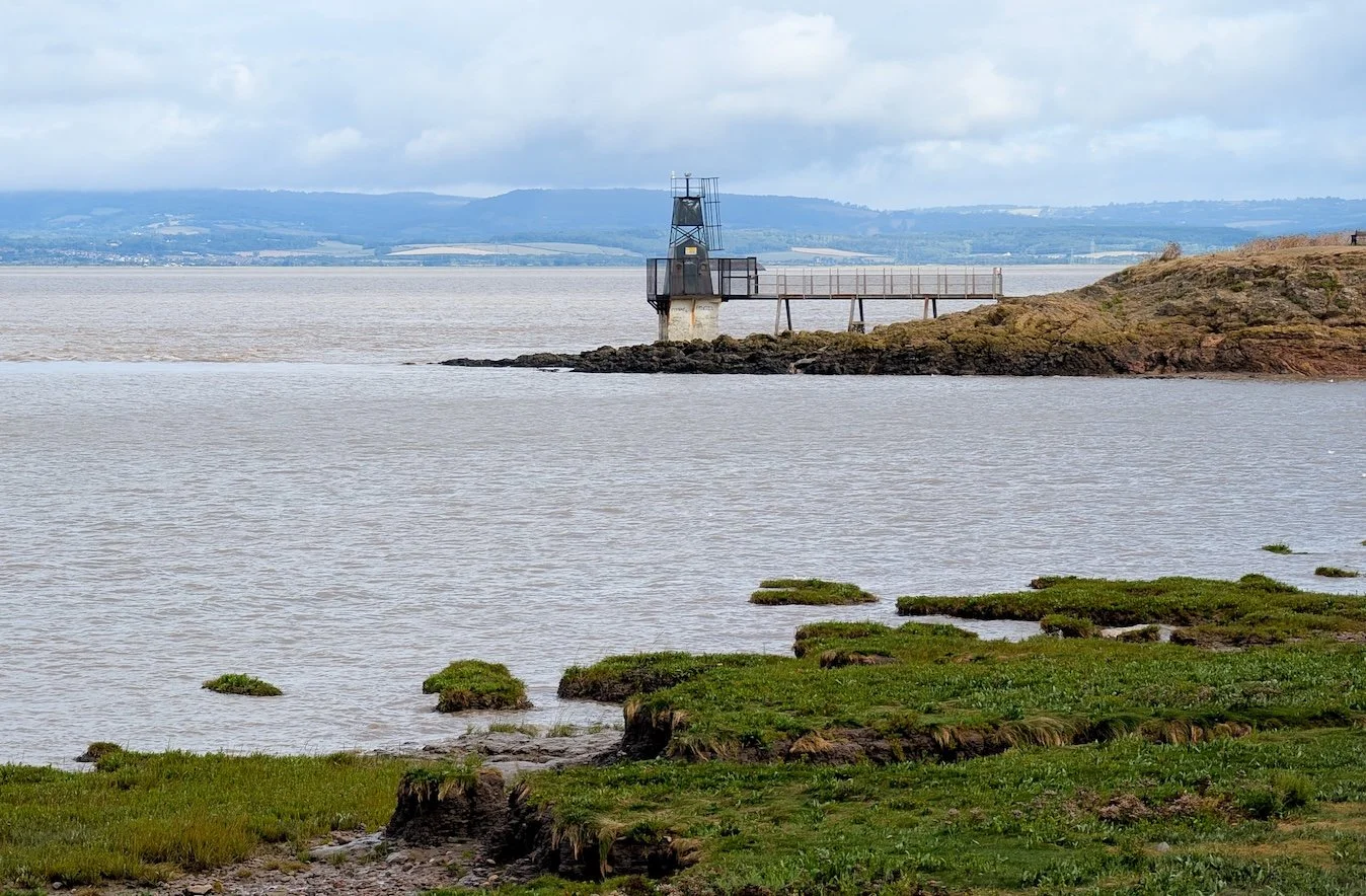
Battery Point at Portishead, good a start as any
Setting Off: Portishead to Clevedon
How do I know that to be the case? Because my pal Richard, the editor of the Western Daily Press, told me so and he took me along the surprisingly lovely stretch from Portishead to Clevedon.
If you’ve never tarried in the area and are in doubt as to where exactly I mean, then imagine driving along the scenic bit of M5 motorway that climbs south into the hills just past the Gordano Services. As the motorway ascends to weave along a series of dramatic flyovers you’ll see a deep valley to your right, beyond which is a wooded ridge that protects the small vale from the sea. It stretches from Portishead down to Clevedon and it’s seaborne slopes play host to this six-mile length of coast path.
From Woodhill Bay to Kilkenny Bay
Portishead: Swimming Pools, Forts and Fossils
I met Richard at Portishead’s open-air swimming pool, an excellent and highly popular amenity judging by the crowds there in last week’s sunshine. The community-operated pool is situated directly adjacent to Battery Point. This small rocky promontory has a history that goes back to the Civil War when a fort was built here to defend the sea-way to Bristol. Guns were once again mounted here during both world wars, but the small headland is now open to the public - however, you can still see just a few remains of the old coastal defences.
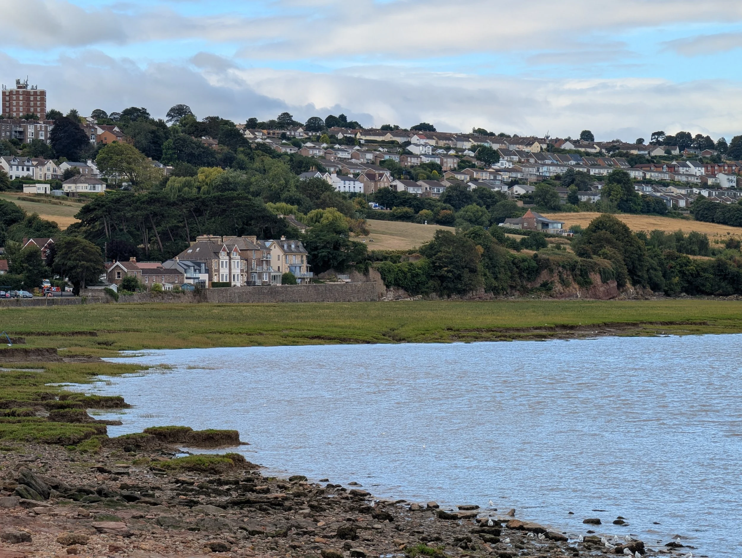
Turn to face the direction of our walk, and you will see the rather attractive area around Woodhill Bay, with its boating pond and the town’s cricket pitch, a hallowed zone much beloved by my companion Richard. The beach is not the kind of sandy affair you’ll see down the coast at Weston-Super-Mare, more of a mix of rocks and mud, but it has a history of its own and is an important site for geologists because of the fossil fish beds that have been found in the rocks.
Battery Point, Portishead
Kilkenny Bay and the Wild Somerset Coast
After Woodhill Bay, there’s Kilkenny Bay, which is really part of the same inlet. The name, Kilkenny, feels out of place in the Westcountry, but it’s been on the maps for centuries. It is a place of mudflats and salt marsh, an important habitat for birds. You can stand there and feel the sense of wildness that still exists on this coastline, even so close to a growing town.
From there, we headed south-west along the newly named King Charles III England Coast Path - a narrow weaving track that was enjoyed by locals long before its present designation.
Coastal Portishead
Black Nore Lighthouse and Football Legends
And it threads its way along a surprisingly remarkable bit of coastline. Not a bad option if it was to be officially recognised as the very beginning of the Westcountry’s coastal path network. A symbolic start to a journey - just a few miles outside the centre of Bristol - that could take you all the way to Land’s End and back around the English Channel Coast to Poole.
We were discussing such weighty matters as we started the gentle climb Black Nore Lighthouse, when Richard was hailed by a friendly gentleman strolling along the path. He turned out to be a proud Portishead local, but also a retired professional footballer - one who happened to play for Arsenal, Coventry City and West Ham and who later enjoyed managerial stints with Wimbledon, Coventry City, and the Wales national team. If you’re interested in football, you’ll know exactly who I mean, if not you won’t care. We enjoyed a pleasant chat with this affable old-pro, who told me there was “not enough shooting and too much passing” in the modern game.
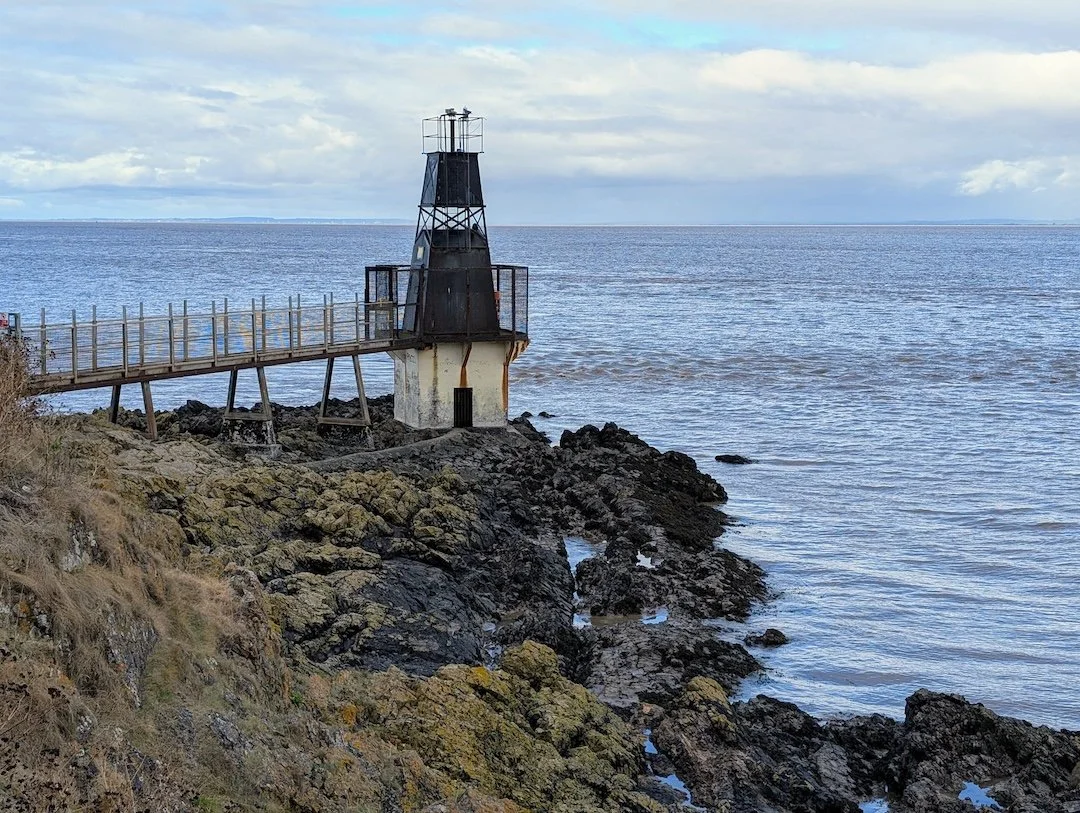
Black Nore Lighthouse is one of those small leggy adaptations to the usual lighthouse genre. Erected in 1894, it once ran on gas and I am told was lit and extinguished manually twice a day by the Ashford family, from nearby Black Nore Farm. During WW2, it was even fitted with a master switch so the light could be turned off during air raids. You can imagine the scene… A family looking out across the Bristol Channel, ready to plunge the coast into darkness to protect against some unseen threat rumbling in the skies.
Black Nore Lighthouse with car transporter
A Wild and Ancient Footpath
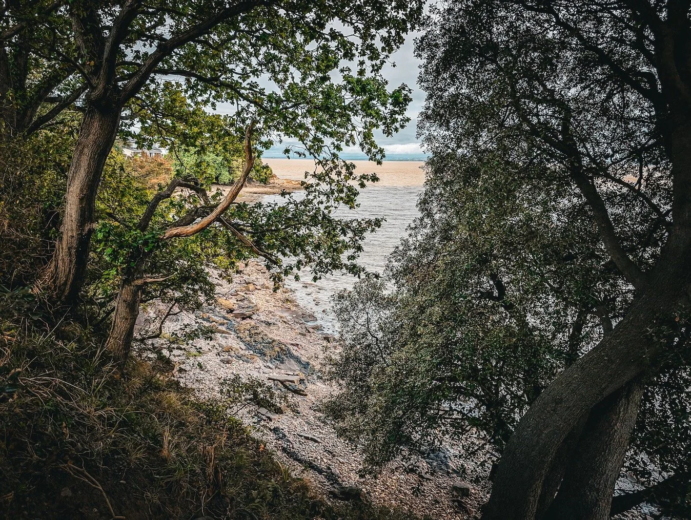
After the light, the path becomes rather narrow here and there, winding between stunted trees and over exposed roots. Somehow you can feel the age of this coastal trail under your feet - a reminder that this is not a new path, but a route people have been walking for centuries.
As we walked, Richard told me that our footballer friend was not the only famous person to have a home in the Portishead area. Kelsey Grammer, the star of the hugely successful TV series, Frasier, also owns a house hereabouts with his wife, Kayte Walsh, who is from Bristol. Apparently, they bought a ‘little place’ up on the nearby ridge to be closer to her family and the actor has talked about the property’s magnificent coastal views.
Woods and coves along the way
Redcliffe Bay to Walton-in-Gordano
The path ducks and dives as it continues south-west along the cliff-tops. We leave any traces of the urban world once we’re past the fuel tanks at Redcliffe Bay - from now on there’s nothing but woods and fields, with the exception of Walton Bay where there’s a holiday camp that looks as though it’s been there for the best part of a century.
Holiday camp at Walton Bay
Next comes Culver Cliff and Pigeon House Bay - all very wild and remote - we only saw three other walkers along this section. If you were to head inland here, you’d climb up to the celebrated tumulus at Walton-in-Gordano. The Bronze Age round barrow is on Walton Common, a Site of Special Scientific Interest (SSSI), managed by the Avon Wildlife Trust. The nature reserve’s other features include hut circles, a field system, and a banjo enclosure. Well worth visiting, if you’re in the area.
Further along the ridge there’s Walton Castle, a folly that looks as though it’s been there since the time of knights and dragons. It is actually a 17th-century hunting lodge, but it has a magnificent, storybook quality to it.
Looking towards Walton Bay and its holiday camp
From up there you’re treated to a wide panorama that takes in landmarks such as the Llanwern steel works and the Welsh cities of Newport and Cardiff as well as the twin the Severn bridges.
Secret Bays and Clevedon Pier
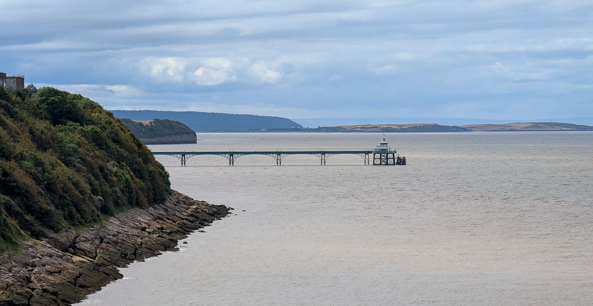
Clevedon Pier from coast path
Back on the coast path, we proceed to Ladye Bay. This picturesque inlet is just outside Clevedon, and is one of those half-hidden coves that tend to be known by locals only. The kind of place where teenagers clamber down for moonlit swims and where families escape on hot days when the more obvious beaches are heaving with visitors. The place feels secretive, tucked beneath red sandstone cliffs and reached by narrow paths. The day we were there we watched two guys belting effortlessly and silently about the gentle waves on their hydrofoil style mini-surfboards. I cannot figure out how these things work - maybe someone could tell me.
Lonely stretch of coast path near Clevedon.
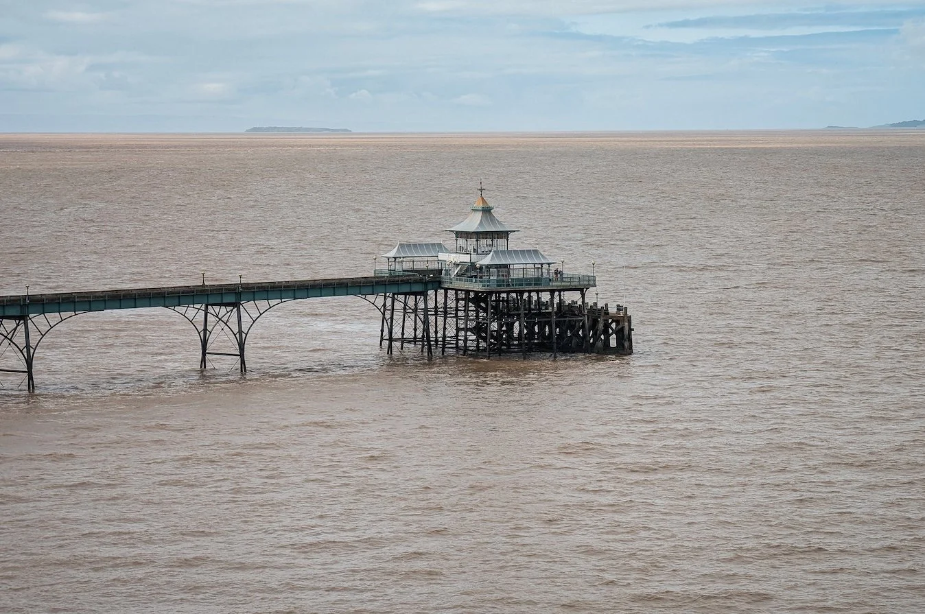
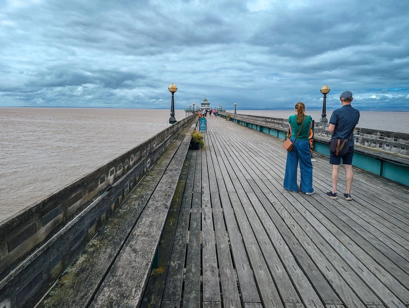
From here it’s a short walk into Clevedon. The pier, of course, is the town’s most famous calling card - a slender, elegant ironwork structure that arcs out into the swirling brown waters of the Bristol Channel. John Betjeman once called it “the most beautiful pier in England,” and you only have to walk its planks on a sunny afternoon to see why. The Grade I listed structure was completed in 1869 and is a wonderful piece of engineering that hints of a time when this was a thriving seaside resort.
Clevedon Pier
A Walk Linking Past and Future
Did I say “was”? It still is. At least it was the day we ended our walk at the pier. The place was absolutely heaving - but then, I am talking about mid-August in a heatwave.
Walking the length of Clevedon Pier
We had started at the mouth of the Severn, at a place that feels like the very beginning of the Westcountry’s magnificent coastline, and we had finished at a seaside symbol of England’s proud Victorian heritage. I reckon that makes it a pretty special stroll indeed, if you’ve a morning or afternoon to spare.


