Dartmoor Walks: Trowlesworthy Warren and the Whitehall Yeo China Clay Pit
A Dartmoor Hike from Cadover Bridge to Great Trowlesworthy Tor
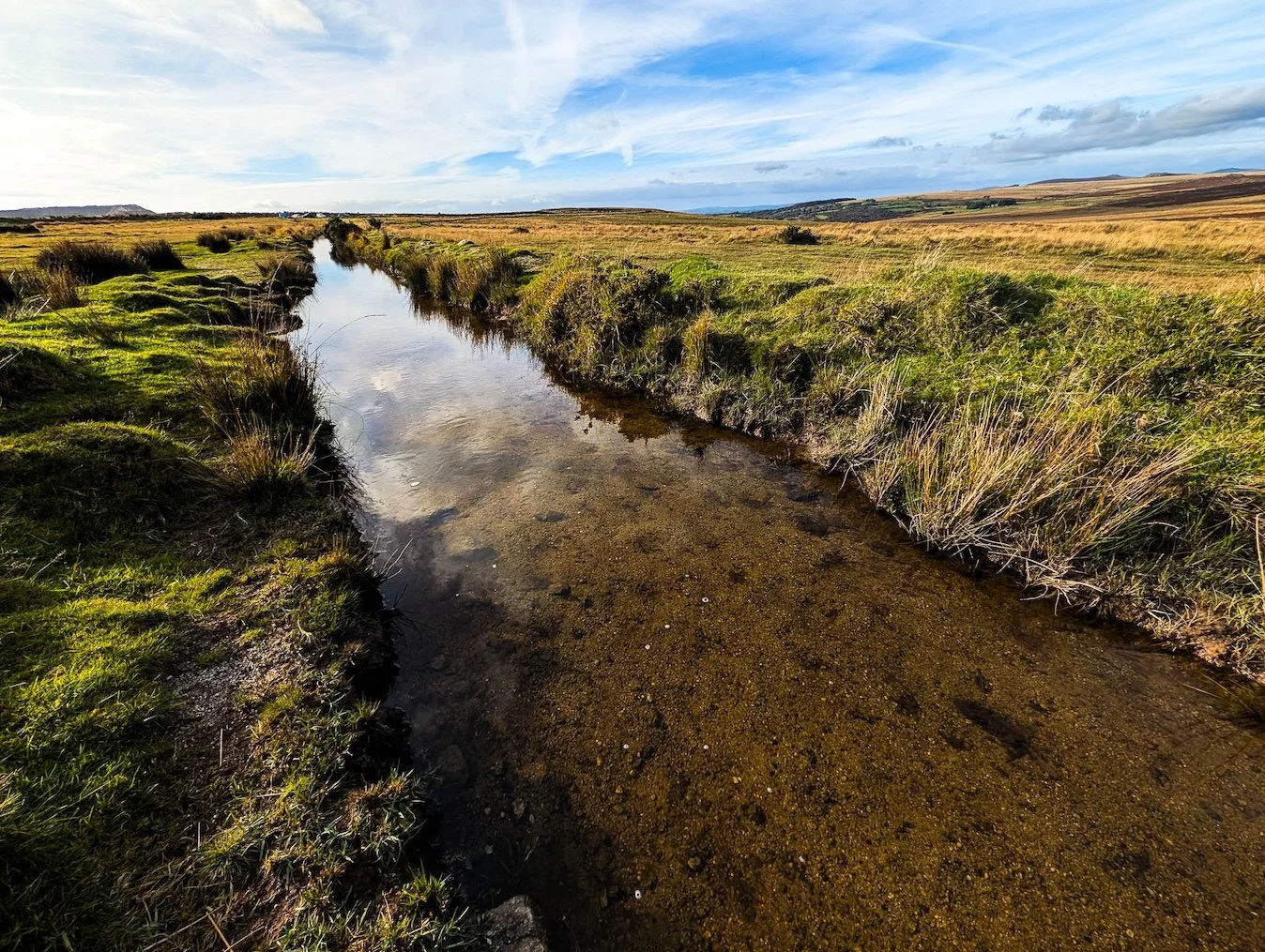
If you love Dartmoor’s wild edges and secret stories, this short circular walk from Cadover Bridge takes you deep into Trowlesworthy Warren, past ancient pillow mounds, granite tors, and the haunting white scars of the china clay pits. It’s a fine mix of moorland solitude, industrial history, and far-reaching views over Plymouth and the South Devon coast
During our stay at Boringdon Hall, we took a five-minute drive up onto Dartmoor so we could enjoy a four-mile hike that took us from the banks of the River Plym near Cadover Bridge up to Great Trowlesworthy Tor, and then back via the edge of the Whitehall Yeo china clay pit.
The most noticeable target when you park above Cadover Bridge is Little Trowlesworthy Tor, which lies above and to the east. Soon you begin to understand why the area is called Trowlesworthy Warren. The OS map calls them ‘Pillow Mounds’, but what that really means is that the many bumps you see scattered about this empty moor were once part of a huge man-made rabbit city.
Trowlesworthy Warren: Ancient Rabbits and Prehistoric Remains
But not all the bumpy bits around here are to do with rabbits – Trowlesworthy Warren is also covered with prehistoric remains like stone rows and circles.
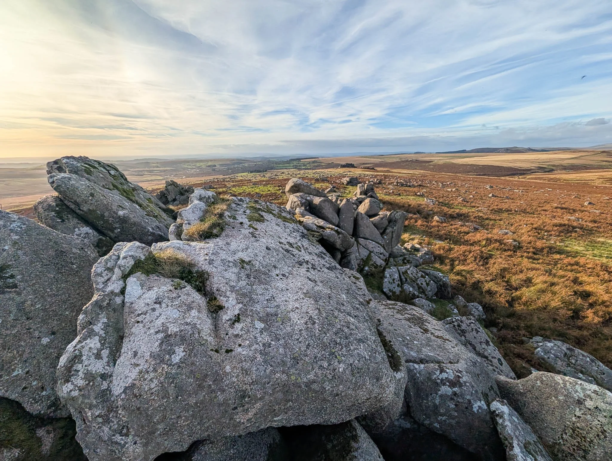
Up at the tor we turned around for the first time and were treated to huge vistas both towards Plymouth and the sea and into the great central southern hinterlands of Dartmoor. But most apparent of all were the massive china clay workings which dominate the scene to the south. Man-made lakes glinted in the sun and the general whiteness of the great scars gave rise to that inevitable phrase – lunar landscape.
The Mystery of the Giant Granite Cylinder
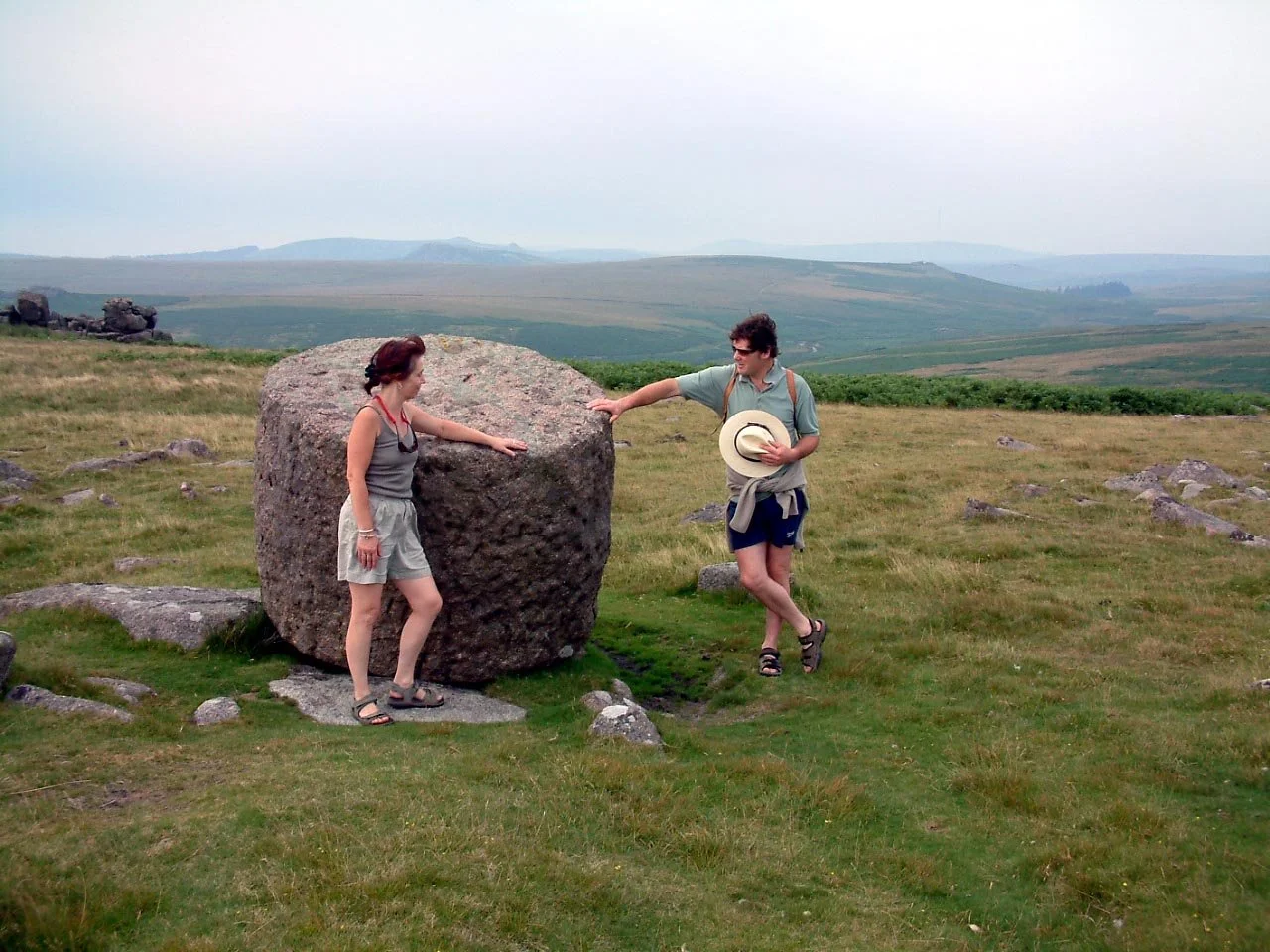
As we walked further east towards Great Trowlesworthy Tor, we came across a curious lump of rock. A massive cylindrical piece of granite lay at a jaunty angle as if someone had once tried to move it and had then given up. Apparently, quarrymen cut and shaped this marvellous thing way back in the early 1800s when Plymouth and Devonport were forever vying to out-do each other. This huge cylinder was intended to be the base for an enormous flagpole that would dominate the centre of Devonport.
Granite cylinder near Great Trowlesworthy Tor
There are two arguments as to why it never reached town – one is that the mean-spirited burghers failed to collect the necessary funds – the other is that it was simply too heavy to move. Having seen it, I believe the latter.
After visiting the higher tor, we took ourselves cross country to head downhill so that we could look over the edge of the colossal Whitehall Yeo china clay pit. It was then a simple walk back to the car.
Another Look Back: Revisiting China Clay Country on Dartmoor
Here is another version of the walk that I wrote 20 years ago with photos taken at the same time…
Path to Great Trowlesworthy Tor
This is China Clay Country. Not the better-known Cornish Alps north of St Austell, the other one. It's also Plym Country – the stream that lends its name to the city runs right under the big, bald plain of Trowlesworthy Warren. Indeed, the whole shooting match lies not more than a handful of miles from the head office of this newspaper – north-east across Bickleigh Vale and beyond the village of Shaugh Prior.
Starting the Walk: Finding Cadover Bridge
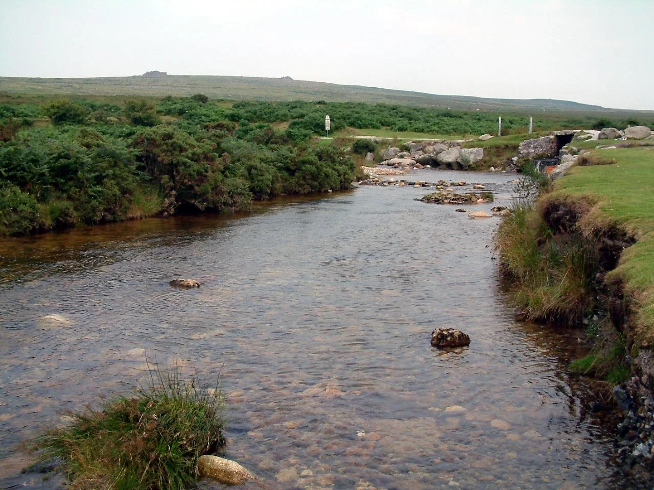
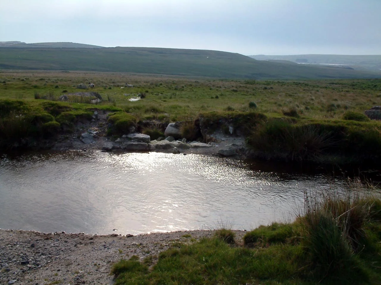
To find it, go to Cadover Bridge on the moor-hugging road that wends its ways from Ivybridge to Yelverton. A made-up road (not marked on the map) and then a track run east from the bridge along the Plym – I noticed on the hot evening of my visit that the area seems to be a popular haunt for Plymouthians. There were people everywhere – picnicking and swimming.
But we ignored all this urban jollity and drove up the track a little way to park by an ice-cream van in a wide space near the bend where the Blacka Brook stream descends to join the Plym. The warren rose gently to our west, almost featureless until it met Little Trowlesworthy and then Great Trowlesworthy Tors.
Walking Across the Moor: From Warren House to the Tors
This is where I was required to walk – so I walked. But where? This might be a National Trust-owned property, but it's one of those low-key places where the organisation has decided not to bung up endless interpretation notice boards and the like at every touch and turn. I'm all for that – and so was only too happy to plunge into the wilderness.
At Trowlesworthy this is surprisingly easy to do thanks to the track that leads to Trowlesworthy Warren House. The farm is the nearest thing the Plymouth area has to Wuthering Heights – you can imagine dark, brooding Heathcliffe lurking about this lonely place, being romantic in a sulky sort of way.
Now the walker is introduced to the real open moor. In other words, there's no obvious track to follow but, as it's open access land, you can wander more or less where you will. The most noticeable target is Little Trowlesworthy Tor, which lies above and to the east and as you climb. Now you begin to glean why the place has the word 'Warren' as a suffix. The OS map calls them 'Pillow Mounds', but what that really means is that the many bumps you see scattered about this otherwise empty moor were once part of a huge man-made rabbit city.
Rabbits, Quarrymen, and the Legends of the Leat
A quick search on the Internet has informed me that this was a working warren for centuries – I have visions of rabbit meat being a regular 'special' in the dockside eateries around the mouth of the Tamar. No wonder sailors and fishermen had a superstitious horror for the word rabbit being spoken out loud as they headed for sea.
The other fact that the website expounded upon was that quarrymen wanted to put a leat right across the warren as part of the extensive workings around here and were only allowed to do so after agreeing to put little bridges across so that the bunnies could wander hither and thither.
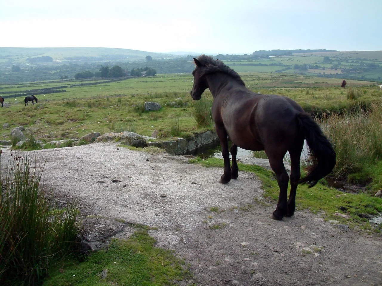
You can still see the leat and you can still see the bridges. In fact you must cross the leat on your way up to the tor. We did so and had to pass a stallion who seemed to think he was lord and master of the place. We watched other ponies try to pass and he snorted them away – now it was our turn. He wasn't happy, but gave way with a show of great annoyance as we took no notice of his huff and puff.
Dartmoor Views and the Great White Clay Pits
By the way, not all the bumpy bits around here are to do with rabbits – Trowlesworthy Warren is covered with prehistoric remains like stone rows and circles.
Up at the tor we turned around for the first time and were treated to huge vistas both towards Plymouth and the sea and into the great central southern hinterlands of Dartmoor. But most apparent of all were the massive china clay workings which dominate the scene to the south. Man-made lakes glinted in the sun and the general whiteness of the great scars gave rise to that inevitable phrase – lunar landscape.
It's obvious that the tor has been greatly messed about with. Huge square-cut chunks of granite lie about the place as if someone at sometime was planning to build a structure of gigantic proportions.
The Granite Flagpole Base and the Return Route
As we walked further east towards Great Trowlesworthy Tor, we came across an even more curious lump of rock. A massive cylindrical piece of granite lay at a jaunty angle as if someone had once tried to move it and had then given up. Which, according to one website, is exactly what happened. Apparently, quarrymen cut and shaped this marvellous thing way back in the early 1800s when Plymouth and Devonport were separate places and forever vying to out-do each other. This huge cylinder was intended to be the base for an enormous flagpole that would dominate the centre of Devonport.
There are two arguments as to why it never reached town – one is that the mean-spirited burghers failed to collect the necessary funds – the other is that it was simply too heavy to move. Having seen it, I believe the latter.
After visiting the higher tor, we took ourselves cross country to head downhill so that we could look over the edge of the colossal Whitehall Yeo china clay pit. It was well worth the odd foot-soaking in the occasional bog. Talking of lunar landscapes, I bet you can see this place from the moon.
A track skirts the western edge of the white abyss and eventually introduces the walker to the paved, Ordnance Survey-ignored road that then descends west back towards the Plym. A mile down this, and then a quarter mile shortcut across the slightly boggy sward, and we were back at our car. An extraordinary hike – not five miles from the centre of the region's biggest city – but a hike I feel I have, perhaps, only scratched the surface of. Unlike those china clay people who've dug very deep indeed.
Fact File: Dartmoor Walk – Cadover Bridge to Great Trowlesworthy Tor
Basic hike: From banks of the River Plym near Cadover Bridge, past Trowlesworthy Warren House to Great Trowlesworthy Tor, and then back via the edge of Whitehall Yeo china clay pit.
Recommended map: Ordnance Survey OL map 28 – Dartmoor.
Distance and going: Three-and-a-half miles, easy going but maybe boggy in places.


