Taw Head Dartmoor Walk: Following the River Taw to Its Source
- Martin Hesp
- 1 day ago
- 5 min read

A Long and Exhilarating Dartmoor Hike
Here’s a long and exhilarating trudge up into the high country. For me it was the West Country equivalent of attempting to find the source of the Nile – I was following the Taw upstream for a series on the region's rivers and I thought the headwaters would give me a good excuse for a hike. They did that all right. Finding the source of the Taw took me on the longest hike this column has enjoyed for sometime – and I loved every squelchy, windblown moment of it.
Taw Head is in the middle of nowhere – in other words, it’s plonk in the centre of Dartmoor’s northern vastness – which is as middle-of-nowhere-ish as you get in this peninsula.
So, take your lives in your hands, and follow me up the Taw. I’ll admit before we begin that I never actually reached the teeny-weeny source, which spews from a bog under Hangingstone Hill, but I did get to a point where I could view the spring in all its wild and remote beauty. And that’ll do nicely, as the route made for a bracing and wonderful figure-of-8 walk.

Starting the Walk at Belstone
To begin we travel to the picturesque village of Belstone perched high above the A30 a few miles south-east of Okehampton. I parked by the side of a common just down the lane from the curious looking pub, and admired the view of spectacular Belstone Cleave before setting off in a southerly direction into the moors.

By-the-way, Belstone is a most attractive place, largely unspoilt by the ubiquitous bungalow development that has visually polluted so much of our peninsula – and it’s just a few minutes off the big main road, so make a note to pop up there sometime, even if it’s just for a drink and a short stroll.
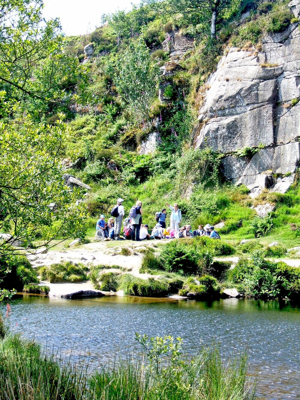
A track introduced me to the tumbling River Taw after I’d walked around the back of a Christian residential centre and found myself standing in what I presumed were sheep dipping pens. By opening a gate and walking through these pens I was able to gain the rough path that faithfully climbs alongside the waterfalls and rapids.

Along the Upper River Taw
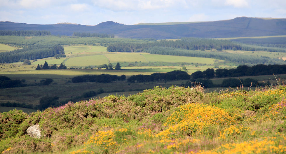
For this is the theme of the first half-mile into the wilderness – the Taw seems in a great rush to leave the moor. Then, as if by some geographical magic, things change. The river ceases to rumble and roar and we enter a quiet stretch where the water moves sleek and silent down a narrow channel. And suddenly, looking up, the walker realises that he has entered an entirely new demesne – a secret world tucked away and shielded by great hills all around.

It’s called Taw Marsh, and it looks like something out of Africa’s Serengeti. I have never seen anything like this place anywhere else in the region – an enclosed plain where the river forgets its moorland rush to meander quietly this way and that in a series of wide, beach-lined pools. It comes as a complete surprise and for a moment you are forced to stop and stare. The place is dominated by the tall triangular peak of Steeperton Tor and somehow you can imagine H. Rider Haggard writing a novel about some long lost tribe hiding out up there.
The two dippers which had escorted me up the rushing part of the stream departed and were replaced by a pair of ravens. These seemed most indignant at my arrival in their secret world, and I soon found out why. They had been about the gory business of pecking out the insides of a drowned sheep. She was caught up on a branch in one of the bends in the river, and I was horrified to see that her unborn lamb had survived its mother’s death and attempted to climb out of the hole made by the birds. Nature’s own terrible Caesarean had failed – the unborn lamb only made it halfway into this cruel world.

Climbing Oke Tor and Steeperton Gorge
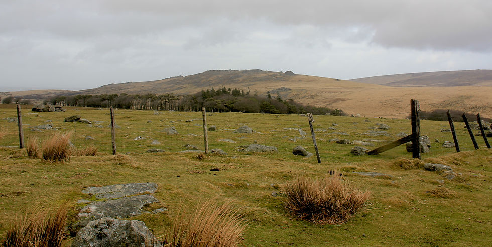
I walked quickly away and climbed the almost imperceptible path that took me on a diagonal route to the top of Oke Tor. The rocks up here look like so many pancakes piled one upon another – fossilised silt, I suppose, of some ancient primeval sea. Anyway, they made a good windbreak – or they did the day I visited earlier this week when the wind was howling across from the colossus of Yes Tor.
After a sheltered breather from the gale I moved on, south to the lip of Steeperton Gorge. This is one of two defiles that isolate splendid Steeperton Tor and make it the distinct mountain it is. A bit confusing really because the easterly one is called Steeperton Brook so you’d think it would have the gorge named after it. But it’s the western defile, the Taw, which gets the appellation, as it cleaves its way down from the southerly heights.

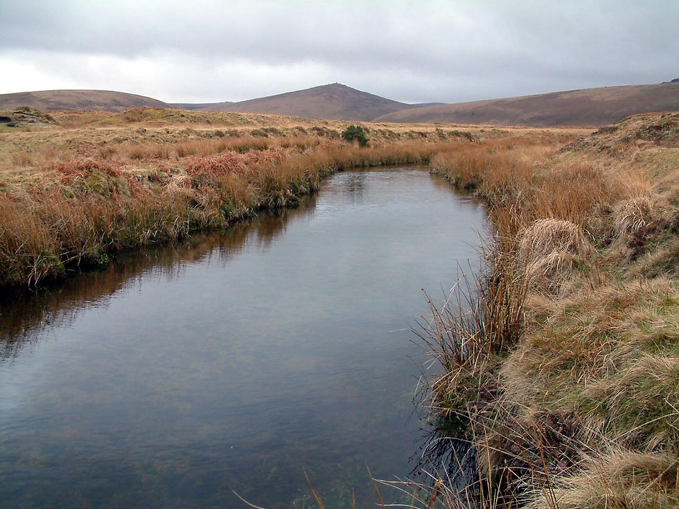
Reaching Taw Head
From Oke Tor to this point I’d followed a recognisable track and, as this now veered away from the gorge to climb the flanks of Okement Hill, I followed in the belief it would sooner or later reveal the birthplace of the Taw. It did. After I’d crossed a level plain that formed the watershed between the Taw and Okement Rivers, I was able to branch south again up Okement Hill, and long before I reached the top I could see Taw Head.
Unremarkable bog it might be, but the landscape has a wild, untamed beauty of its own and I look forward to returning when I explore the Okement Rivers. But now I retraced my tracks and returned to the watershed where I followed the left-hand track down the hill. Just past the clatter of rocks in the small coombe, I left the track to follow the 420 metre contour back along the western flank of Oke Tor, and this took me north to the ridge that stretches between Oke and Belstone Tors.
Belstone Tor and the Nine Maidens
The latter eminence affords some of the finest views in the West Country. From its rocky peak you can see all of central and North Devon as well as much of northern Cornwall. It is one of the most boulder-strewn hills on Dartmoor, and you must take great care not to turn an ankle when making your way north again, down across its flanks to Belstone. And take care too, not to annoy the Nine Maidens of Belstone Common who either dance here every noon – or every Hunter’s Moon - depending on which myth you believe. Anyway, they’re moody phantoms who were turned to stone for dancing on the Sabbath – just like the Merry Maidens across the Tamar vale at lofty Minnions.
So watch your step and you’ll re-enter the world of man at Belstone unscathed but weary after a long and spectacular Dartmoor dawdle.
Walk Fact File
Route
From Belstone (near Okehampton) south into the moors following the Taw. At Taw Marsh our route climbs Oke Tor and continues south up Okement Hill, before returning alongside Oke Tor to gain the ridge leading to Belstone Tor. Then it’s simply a case of descending over Belstone Common back to the village.
Recommended Map
Ordnance Survey Outdoor Leisure Map 28 – Dartmoor.
Distance and Difficulty
Seven miles, fairly easy going except for boulder clatter in places.
Highlights
Following the River Taw towards its source
Taw Marsh's unique hidden landscape
Oke Tor and Steeperton Gorge
Views from Belstone Tor
Dartmoor wildlife and folklore
Spectacular panoramas across Devon and Cornwall