4 Dramatic Coastal Walks in North Devon

Updated: Sep 13
From the sweeping sands of Bideford Bay to the sheer, dizzying sea-cliffs of Exmoor, North Devon offers a landscape of striking contrasts. Whether you are tracing lost Victorian railway lines, exploring secret sea-coves, or wandering through vast dune systems, these four circular routes capture the very best of the northern coast.

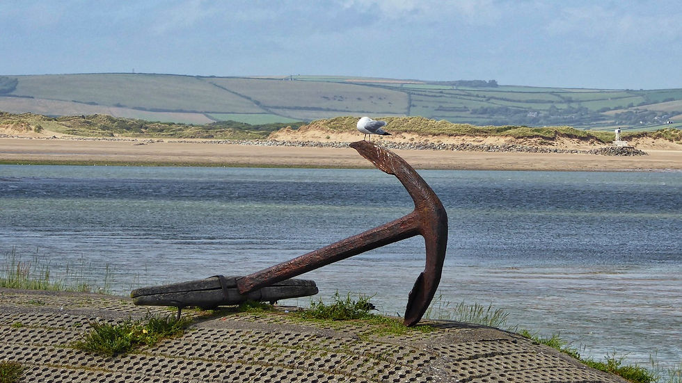
1. Westward Ho! & Cornborough Cliffs Circular
"Westward Ho! is the only place in Britain to have an exclamation mark as part of its name. It’s a delightful and idiosyncratic Victorian seaside resort—and fertile ground for chalets and caravans. But we walkers needn’t concern ourselves with any of this, as we’re about to turn our backs on the whole shooting match."
Fact File
Distance & Going: 4 miles | Very easy going; flat coastal paths along a disused railway cutting, gentle field footpaths, and quiet country lanes.
Start & Parking: Coastal Car Park at the far western end of Westward Ho! (EX39 1JU), near the cliff edge.
Pub Pitstop: The Pier House or The Pig on the Hill (Abbotsham) — great for local ales, sea views, and hearty post-walk lunches. Dog-friendly.
IF YOU ENJOY THESE WALKS CHECK OUT OUR DEVON WALKS HUB HERE

The Route Narrative
Leaving Westward Ho! behind, pass the coastal dog-walking field and round the point at Rock Nose. Here, the path enters a distinct cutting with a wide, level track that speaks immediately of a permanent way. This was once part of the short-lived Bideford, Westward Ho! and Appledore Railway, which ran along this remote stretch of shore until the steam engines were called up for war service in 1917.
Follow the wild, atmospheric track past Cornborough Cliffs Halt—where local laver collectors once gathered seaweed—and take in the vast views sweeping southwest toward Clovelly and Hartland Point.

Where the old railway line veers inland toward Bideford, cross the small footbridge over the coastal stream and pick up the public footpath heading up across the fields toward Abbotsham Court. Follow the paved lane inland past Rickard’s Down and through the quiet hamlet of Lake. From Buckleigh, a National Trust right-of-way leads back through high pastureland with superb views over Bideford Bay, descending sharply to the starting car park.
The Pub & Stay Anchor
After soaking up the wild Atlantic breezes at Cornborough, drop into The Pier House perched directly on the sea wall at Westward Ho!, or head slightly inland to The Pig on the Hill at Abbotsham for country pub dining.
If you are planning a longer break in the area, Westward Ho! and nearby Appledore offer an excellent range of ocean-facing holiday apartments, coastal chalets, and historic cottages.
2. Trentishoe & Heddon’s Mouth Cleave High Circuit
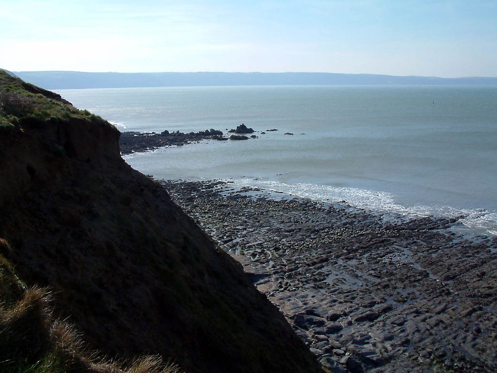
"Stand high on the western rim of Exmoor's rift valley and you get the impression that God used an axe when he created this little lot."

Fact File
Distance & Going: 3 miles | Easy going; high-level road walking along quiet byways, smooth contour footpaths, and cliff paths.
Start & Parking: Roadside parking at Holdstone Down (EX31 4QJ), where the open moorland meets the walled fields above Trentishoe.
Pub Pitstop: The Hunter’s Inn, Heddon’s Valley — a famous characterful inn tucked in the valley below, perfect for local cider, real ales, and pub meals.
The Route Narrative
This high-altitude circuit stays on a level contour around the roof of the Exmoor coast, offering vertiginous sea views without grueling climbs. Walk down Trentishoe Lane, a peaceful car-an-hour byway, toward the tiny 15th-century Church of St Peter. Tucked away in its hollow, this modest house of worship was once a haven for local smugglers—in 1827, Customs men seized 262 tubs of contraband brandy hidden under a local farmer’s stable floor.

Just below Trentishoe, pick up the footpath branching left off the lane. The ground suddenly opens up into the great void of Heddon’s Mouth Cleave—a towering, 700-foot ravine with steep shale slopes plunging down to the rushing river below.
Follow the high path as it edges north around the great shoulder of the cleave above the sea, rounding the hill west toward East Cleave. Pick up the South West Coast Path past North Cleave Gut—home to some of the highest, most impenetrable sea-cliffs in England—before curving inland around the field boundaries back to Holdstone Down.

The Pub & Stay Anchor
To cap off this high-level walk, drive the short distance down into the wooded valley to The Hunter’s Inn, an iconic Victorian lodge offering fine ales and riverside gardens.
For a peaceful Exmoor escape, the quiet hamlets of Trentishoe, Martinhoe, and Woody Bay offer secluded stone holiday cottages and country guesthouses surrounded by wild moorland.
WHY NOT TAKE A LOOK AT 6 GREAT DEVON PUB WALKS HERE

3. Northam Burrows Peninsula Loop
"Northam Burrows is a magical dune-land jutting into the bay, offering a remarkable opportunity for 'foreign travel'. It is reminiscent of Holland—as if a bit of Texel has been cut adrift and somehow ended up on the Devon coast like a big flat piece of sandy jetsam."

Fact File
Distance & Going: 5 miles | Easy, flat walking; sandy beaches, wooden boardwalks, shingle ridges, and grassy dune paths.
Start & Parking: Sandymere Car Park, Northam Burrows Country Park (EX39 1XS).
Pub Pitstop: The Beaver Inn or The Globe Inn (Appledore) — historic maritime pubs serving fresh local seafood and cask ales right on the estuary waterfront.

The Route Narrative
Begin by crossing the wooden boardwalk over the great shingle ridge and dropping down onto the vast, 3-kilometre sandy beach stretching north from Westward Ho! Walk north across the wide sands toward Zulu Sands, where razor-shells litter the tide line and kite-buggies catch the Atlantic winds.
At the northern tip of the peninsula, where the combined waters of the Taw and Torridge rivers sweep out to sea, turn the corner and follow the shingle ridge inland along the river shore.

Here, the South West Coast Path skirts the famous Royal North Devon Golf Club—where local 'potwallopers' still exercise ancient grazing rights for their sheep and ponies. Follow the trail past the salt-marsh creek of The Skern, an internationally important sanctuary for wading birds, before cutting back across the spiky Sharp Rush dunes and Sandymere back to the car park.
The Pub & Stay Anchor
Follow the trail right to the edge of neighbouring Appledore and visit The Beaver Inn for a pint overlooking the Torridge Estuary, or explore the narrow, colourful lanes to find a traditional quayside tavern
Northam Burrows and Appledore are ideal for a coastal getaway, offering everything from quayside fishermen's cottages to modern apartments overlooking Bideford Bay.

4. Ilfracombe, Torrs Park & Lee Bay Circular
"Between Mortehoe and Ilfracombe lies an extraordinarily engineered landscape where Victorian railway pioneers carved tunnels straight through the granite hills to reach the Severn Sea."

Fact File
Distance & Going: 9 miles (or 6 miles with short-cut) | Moderate to energetic going; flat disused railway tracks, stone tunnels, steep coastal paths, and wooded coombe paths.
Start & Parking: Old Railway Bridge Car Park near Mortehoe Station / Borough Road (EX34 8ET).
Pub Pitstop: The Grampus Inn, Lee Bay — an atmospheric 14th-century coastal pub featuring home-brewed ales, a lovely garden, and local food. Dog-friendly.

The Route Narrative
Set off north along the disused Barnstaple-to-Ilfracombe railway line. Opened in 1874 to carry the grand Atlantic Coast Express, this path sinks into immense rock cuttings before passing through a fine stone-walled tunnel beneath the hills. Beyond the tunnel, the track passes two quiet reservoirs before descending through the Welsh Valley-like suburb of Lower Slade.
Follow the line down into the seaside town of Ilfracombe to pick up the South West Coast Path. The trail climbs steeply up through The Seven Hills out onto Torrs Park—a high National Trust coastal heath offering sweeping views across the Bristol Channel toward South Wales.

The coast path winds west over the high cliffs before dropping into the quiet, sheltered cove of Lee Bay. From the sea front, head inland up the wooded coombe, following marked footpaths up through the trees to rejoin the lane near the old railway bridge.
The Pub & Stay Anchor
Nestled in the quiet valley at the end of the coastal stretch sits The Grampus Inn at Lee Bay, a legendary stop for walkers offering local beers, farm-fresh dishes, and a warm fireside welcome.
Lee Bay and the high coastal heath above Ilfracombe offer lovely secluded stone cottages, cliff-top apartments, and traditional B&Bs along the North Devon coast.