6 Lesser Known Dartmoor Pub Walks: Circular Routes, Wild Landscapes, and Proper Moorland Inns

Updated: Jul 29

Dartmoor offers some of the most exhilarating walking terrain in the West Country—vast open spaces, granite tors, rushing river valleys, and miles of open access land. But nothing completes a trek across the high moor quite like ending up in front of a real fire with a pint of local real ale and a plate of hearty pub food.
Here are six classic Dartmoor circular walks, taking in everything from quiet river valleys and ancient ice works to dramatic gorge paths, each paired with a brilliant, active pub right on the route.
IF YOU ENJOY THIS POST CHECK OUT OUR OTHER DARTMOOR HIKES HERE
1. Swincombe & West Dart River Circular

Location: Hexworthy / Central Dartmoor
Distance: Approx. 6 miles
Terrain: Open moorland paths, grassy tracks, and river valleys (can be muddy after wet weather).
Nearest Pub: The Forest Inn, Hexworthy (PL20 6SD) – Open and serving traditional food and local ales.
The Route
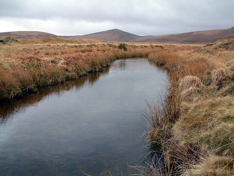
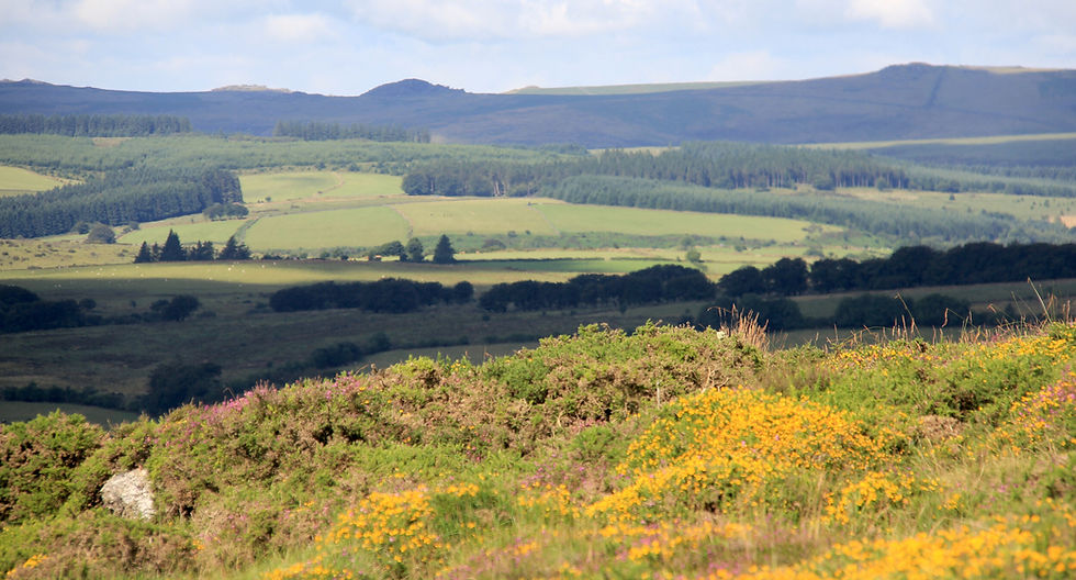
Certain zones in the West Country are richer in walks than others, and the area of Dartmoor just south of the B3367 Princetown to Ashburton road—above and beyond the wild shores of the West Dart—is a prime example. Think big bald open spaces, vast skies, and plenty of room to breathe.

Starting near Hexworthy, the trek follows the Dartmoor Way west, dropping down around a shoulder of hill to meet the River Swincombe. The route passes the evocative ruins known locally as "John Bishop’s house" before climbing west towards Princetown over public access land. Passing Moorlands Farm, the path crosses the West Dart River via the charming hump-backed bridge near the Dartmoor Training Centre, heading past the Prince Hall area to meet the Princetown road. Crossing over to the open access commons, the walk loops east over Cherry Brook, past Dunnabridge Pound, and drops south via Downberry to trace the north bank of the West Dart back to the Swincombe stepping stones and Hexworthy.
The Pub Stop: Located right in the hamlet, The Forest Inn makes an ideal base before or after tackling the Swincombe and West Dart access lands.
2. Sourton Tors & The Historic Ice Works
Location: Sourton (just south of Okehampton)
Distance: Approx. 2.5 miles
Terrain: Grassy moorland tracks and steep ridges.
Nearest Pub: The Highwayman Inn, Sourton (EX20 4HN) – Open and famous for its eclectic, fairytale interior and traditional hospitality.

The Route
You don’t get much cooler than Dartmoor’s lofty, windswept north-western corner—which, presumably, is why the entrepreneurs of old built the Ice Works where they did. Years ago, long before electric refrigeration, someone came up with the bright idea of "capturing" the ice formed on the high hills by cutting a series of huge rectangular troughs running ladder-fashion across the hill beneath a spring.
Starting from the hamlet of Sourton (just below the church), head up onto the moors through an ancient stone-walled drift funnel crossing the line of the old railway. Taking the grassy path that curves up around the northern end of the ridge brings you to the fascinating archaeological site of the Ice Works—a grid of long depressions where ice was once harvested and packed in fern for Devon's fishmongers and trawlers. Continue up to the rocky heights of Sourton Tors, which offer panoramic sunset views stretching across Devon and Cornwall, before returning down the small coombe opposite Lake Down.
The Pub Stop: After descending back into the hamlet, head straight to The Highwayman Inn at Sourton, arguably one of the most remarkable and characterful inns on Dartmoor.

3. Belstone, Taw Marsh & Steeperton Tor
Location: Belstone (near Okehampton)
Distance: Approx. 7 miles
Terrain: Rough moorland tracks, river paths, and boulder-strewn ridges.
Nearest Pub: The Tors Inn, Belstone (EX20 1QZ) – Open and situated right on the edge of the village green.

The Route
Belstone is a remarkably picturesque moorland village, largely unspoilt and perched high above the A30. Setting off from the common down the lane, a rough track follows the tumbling, rushing waterfalls of the River Taw upstream into the northern wilderness.
Suddenly, the river settles into sleek, quiet pools, opening out into Taw Marsh—a quiet plain ringed by great hills, dominated by the sharp peak of Steeperton Tor. The route climbs diagonally up Oke Tor, where pancake-stacked granite rocks offer shelter from the moorland gales. Continuing south toward the watershed near Okement Hill to view the lonely source at Taw Head, the return leg traces the high ridge across Belstone Tor—offering sweeping views over North Devon—and drops back over Belstone Common past the Nine Maidens stone circle.
The Pub Stop: Finish right back in the village at The Tors Inn, an ideal spot for a post-hike drink and warm meal overlooking the moor.

4. Lustleigh Cleave & Hunters Tor
Location: Lustleigh / Eastern Dartmoor
Distance: Approx. 4.5 to 5 miles
Terrain: Steep woodland tracks, boulder-strewn paths, and high granite ridges.
Nearest Pub: The Cleave, Lustleigh (TQ13 9TJ) – Open, thatched village pub serving local real ales.

The Route
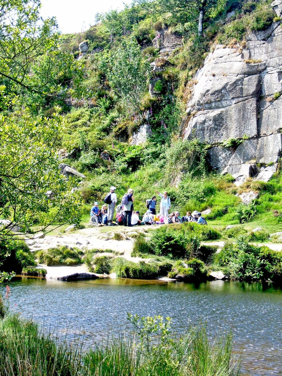
Lustleigh Cleave is one of the most picturesque river valleys on Dartmoor, where the River Bovey cuts a deep, boulder-choked ravine through ancient woodland.
Starting from the picture-postcard village of Lustleigh, the walk climbs through dense canopy out onto the high granite ridge of Sharpitor and Hunters Tor. From the top, you are rewarded with dramatic panoramas over the valley, Harton Chest, and the surrounding moors. The descent winds back through quiet woodland paths and mossy lanes, dropping back down into the shelter of the village.
The Pub Stop: The Cleave in Lustleigh is a classic thatched West Country pub offering great local beers, warm food, and a sun-drenched garden in summer or open fires in winter.

5. Lydford Gorge & The Waterfall Loop
Location: Lydford (West Dartmoor)
Distance: Approx. 3 to 3.5 miles
Terrain: Deep gorge paths, wooden walkways, steps, and steep riverbank tracks.
Nearest Pub: The Castle Inn, Lydford (EX20 4BH) – Historic 16th-century inn located right next to Lydford Castle, open daily.

The Route
Lydford Gorge is the deepest river gorge in the South West, famous for the roaring 30-metre Whitelady Waterfall and the dark, churning waters of the Devil’s Cauldron. Most of this hike is located within the area owned by the National Trust and the gorge itslef it a paid-for entry feature.
Starting in the historic village of Lydford, the path drops steeply down into the ravine, following the River Lyd as it carves its way through steep wooden slopes. The route takes you along narrow cliffside paths, over wooden bridges, and past spectacular rock formations where the water crashes through ancient slate walls. After taking in the Devil's Cauldron, the path climbs back up out of the gorge into the village.
The Pub Stop: Right next to the medieval castle ruins sits The Castle Inn, a low-ceilinged, character-filled pub with slate floors, open fires, and local Devon ales.

6. Princetown & The Central High Moor Loop
Location: Princetown
Distance: Approx. 5 miles
Terrain: Gravel tracks, old railway lines, and exposed moorland paths.
Nearest Pub: The Plume of Feathers, Princetown (PL20 6QQ) – Historic, refurbished moorland inn open Wednesday through Sunday.

The Route
Princetown sits high in the heart of Dartmoor, shrouded in mist, history, and the imposing presence of Dartmoor Prison.
Starting in the centre of the village, this walk follows the disused Princetown railway track—a flat, easy-going track that winds around North Hisworthy Tor with magnificent views down towards Burrator and the western moors. The loop cuts across open access heathland toward Kings Tor, passing granite quarries that once supplied stone for London’s bridges, before circling back across the high moor into Princetown.
The Pub Stop: The Prince of Wales Hotel is the oldest building in Princetown, offering a huge welcome to cold, windblown walkers with its newly refurbished bar, local Dartmoor Jail Ale, and hot meals.

Frequently Asked Questions About Dartmoor Pub Walks
Are Dartmoor pubs dog-friendly?
Yes, virtually all traditional Dartmoor pubs welcome dogs in the bar areas, provided they are kept on leads. Because cattle, sheep, and ponies graze freely across Dartmoor, dogs must also be kept under strict control on the trails.
What maps do I need for walking on Dartmoor?
The best map for hiking these routes is the Ordnance Survey Outdoor Leisure Map 28 (OL28) – Dartmoor (1:25,000 scale). It clearly marks public footpaths, bridleways, and open access land boundaries.
Do I need special gear for Dartmoor walks?
Even short walks on Dartmoor can experience rapid changes in weather. Good waterproof walking boots are essential, as ground can turn boggy quickly. Always pack a waterproof jacket, a warm layer, and a map or compass, even on sunny days.